 Cart(
Cart(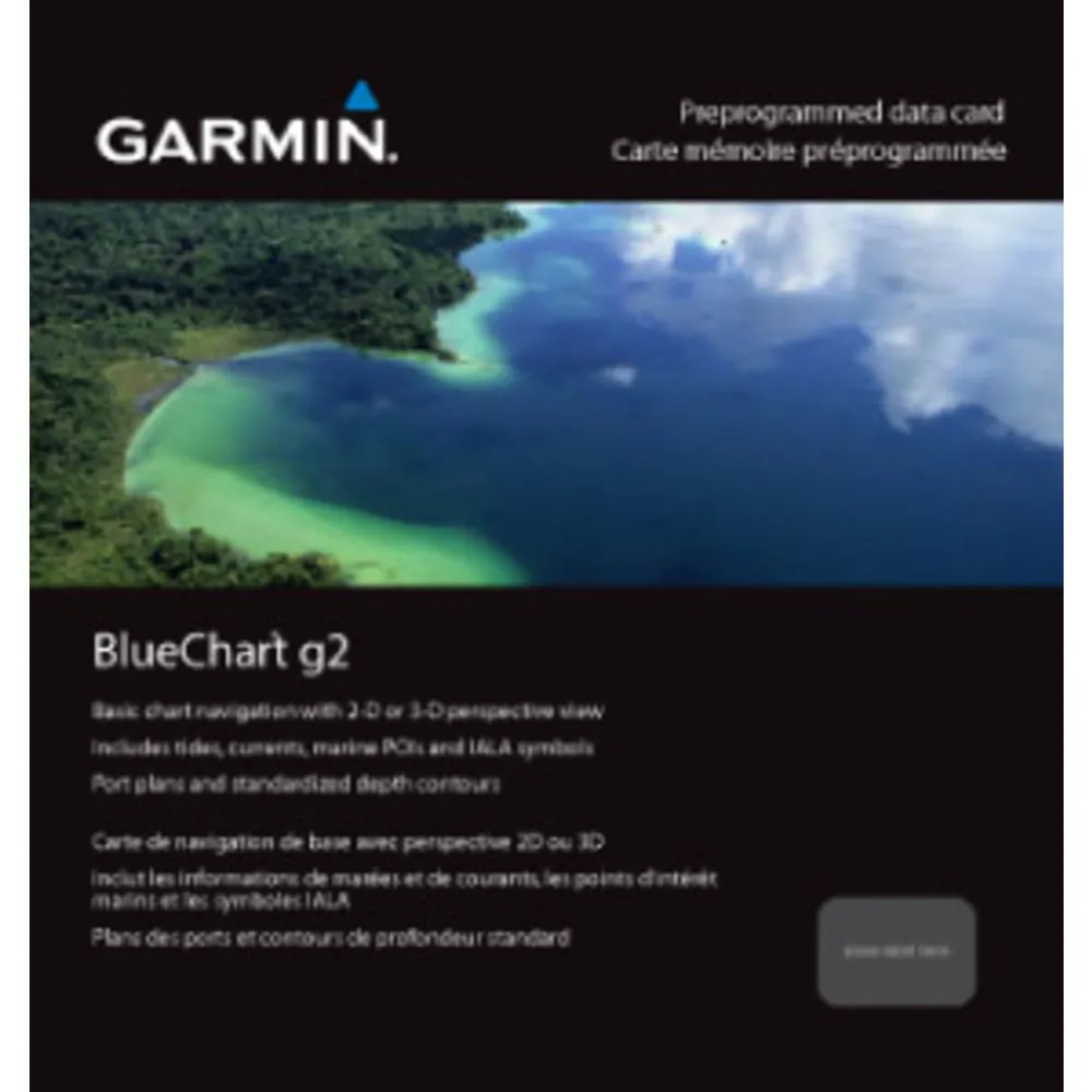
Garmin Bluechart G2 HD HXPC413S Mornington Island Hervey Bay Map
Enhance your marine navigation experience with the Garmin Bluechart G2 HD HXPC413S Mornington Island Hervey Bay Map. This detailed marine mapping data provides precise on-chart positioning in relation to navaids, coastal features, anchorages, obstructions, waterways, restricted areas, and more.
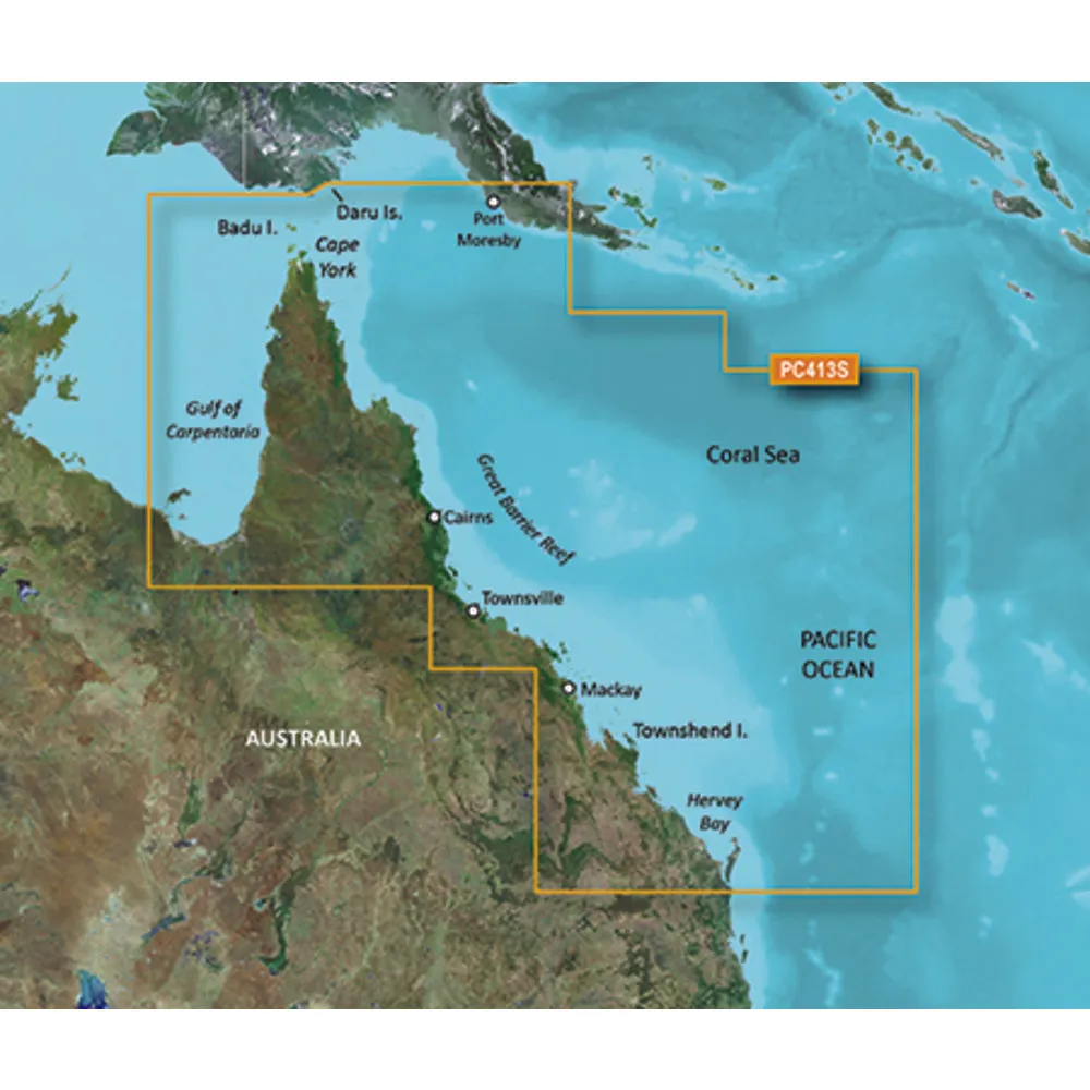
With shaded depth contours, coastlines, spot soundings, navaids, port plans, wrecks, obstructions, intertidal zones, restricted areas, and IALA symbols, this map offers comprehensive coverage for navigating the northeastern coast of Australia from Mornington Island to Hervey Bay. It also includes detailed coverage of Cape York, the Great Barrier Reef, and the ports of Cairns, Townsville, Mackay, and Port Moresby, PNG.
Seamless transitions between zoom levels and continuity across chart boundaries make navigation smooth and effortless. Choose between standard 2-D direct overhead or 3-D "over the bow" map perspective for easy chart reading and orientation.
Safety Shading feature enables contour shading for all depth contours shallower than your defined safe depths, ensuring a safer boating experience. Fishing Charts provide bottom contours and depth soundings with less visual clutter on the display, allowing you to scope out the best fishing spots.
Plan and organize your routes from your computer with HomePort, making trip planning convenient and efficient.
Product Features:
- Brand compatibility: Garmin
- Distribution type: MicroSD/SD
- Minimum RAM: 1024
- Compatibility: Alpha®, Astro®, Colorado® 300, Colorado® 400c, Colorado® 400i, Colorado® 400t, Dakota® 20, echoMAP 43dv, echoMAP 44dv, echoMAP 50dv, echoMAP 50s, echoMAP 53dv, echoMAP 54dv, echoMAP 70dv, echoMAP 70s, echoMAP 73dv, echoMAP 73sv, echoMAP 74dv
- Minimum hard disk space: 0.226
- Internet connection required: Yes
- Minimum display resolution requirement: 1024 x 768
- USB required: Yes
- Number of users: 1
- Coverage details: Mornington Island - Hervey Bay
- Region location: Australia & Oceania


![Bluestorm Cirro 26 Cirrus 26 Re-Arming Kit [BS-V90000-84204Z]](https://www.climbinggeara.com/image/bluestorm-cirro-26-cirrus-26-re-arming-kit-bs-v90000-84204z_NZwrR8_300x.webp "Bluestorm Cirro 26 Cirrus 26 Re-Arming Kit [BS-V90000-84204Z]")


