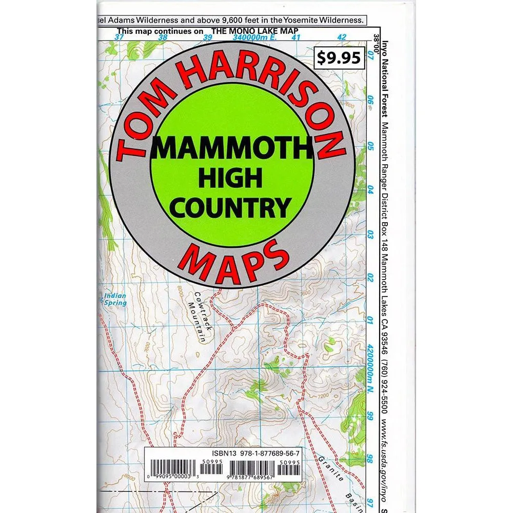
Tom Harrison Maps: Mammoth High Country (Mono Lake to Crowley Lake)
$10.95
$0.00
Unavailable
Tom Harrison Maps: Mammoth High Country (Mono Lake to Crowley Lake)
$10.95
$0.00
Title:
DefaultTitle
Unavailable
Please select combo product attributes
The combo subtotal is $,SAVE$
Product Details
+
Shaded relief topo map. Scale:1:63,360, (1 inch represents one actual mile). Printed on waterproof and tearproof material. Mammoth High Country area is one of the most popular getaway and outdoors activity areas in California. Coverage on this map includes, Minarets, June Lake, Ritter Range, Convict Lake, Mono Craters, Devils Postpiles, Mammoth Lakes, Agnew Meadows, Thousand Island Lake. Published by Tom Harrison Maps.

 Cart(
Cart(


![Plano Plastic Worm Stowaway 3700 - Clear [371610]](https://www.climbinggeara.com/image/plano-plastic-worm-stowaway-3700-clear-371610_1kZyjR_300x.webp "Plano Plastic Worm Stowaway 3700 - Clear [371610]")


