 Cart(
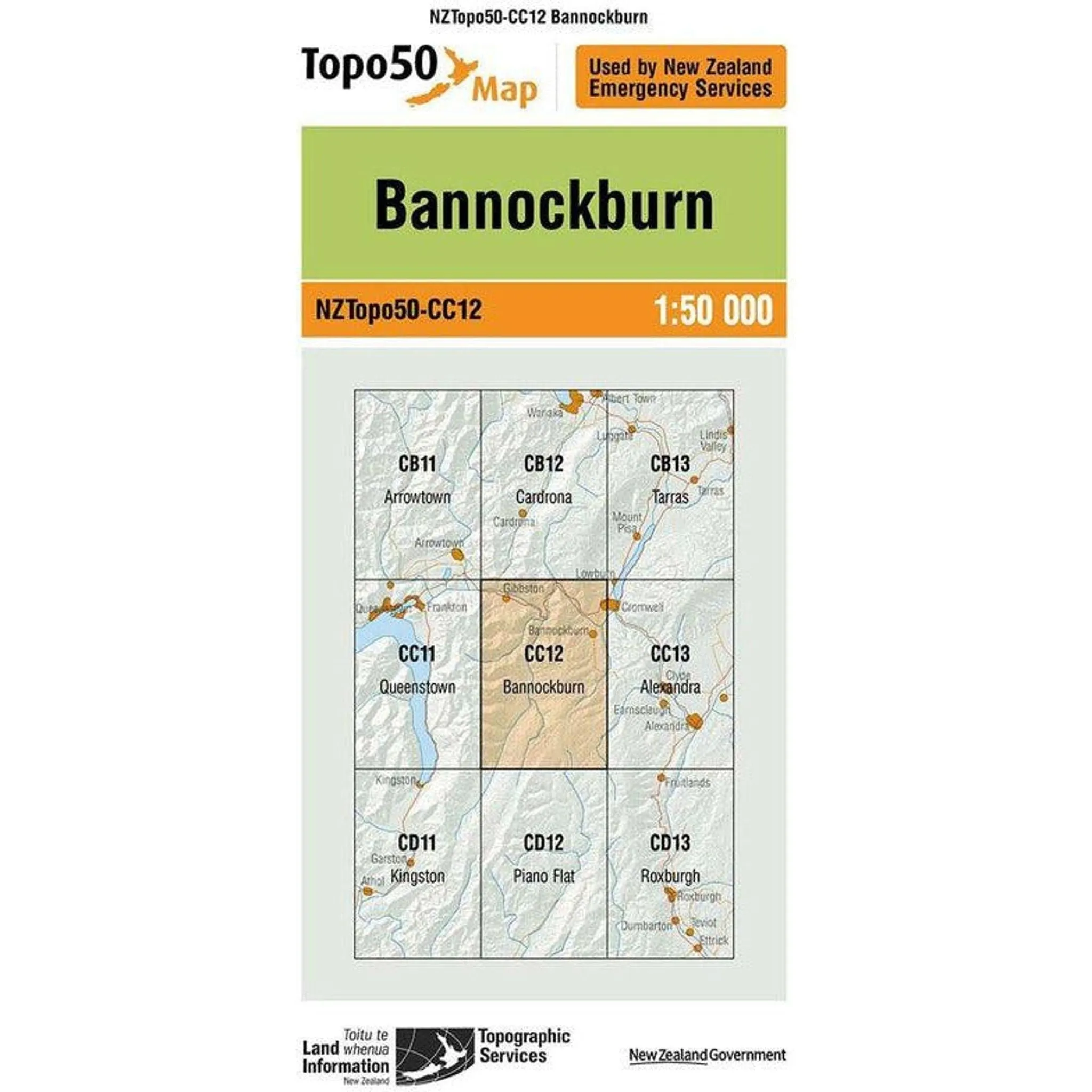
Cart(Topo50 is the official topographic map series used by New Zealand emergency services.
The Topo50 map series provides topographic mapping for the New Zealand mainland and Chatham Islands at 1:50,000 scale.
$ 66.41
$ 86.33
$ 66.41
$ 86.33
Topo50 is the official topographic map series used by New Zealand emergency services.
The Topo50 map series provides topographic mapping for the New Zealand mainland and Chatham Islands at 1:50,000 scale.
$ 29.99
$ 69.30
$ 53.31
$ 57.46
$ 44.20
$ 66.18
$ 50.91
$ 59.99
$ 62.04
$ 47.72
$ 52.21
$ 40.16
$ 21.98
$ 74.95
$ 54.86
$ 90.61
$ 69.70


")
