 Cart(
Cart(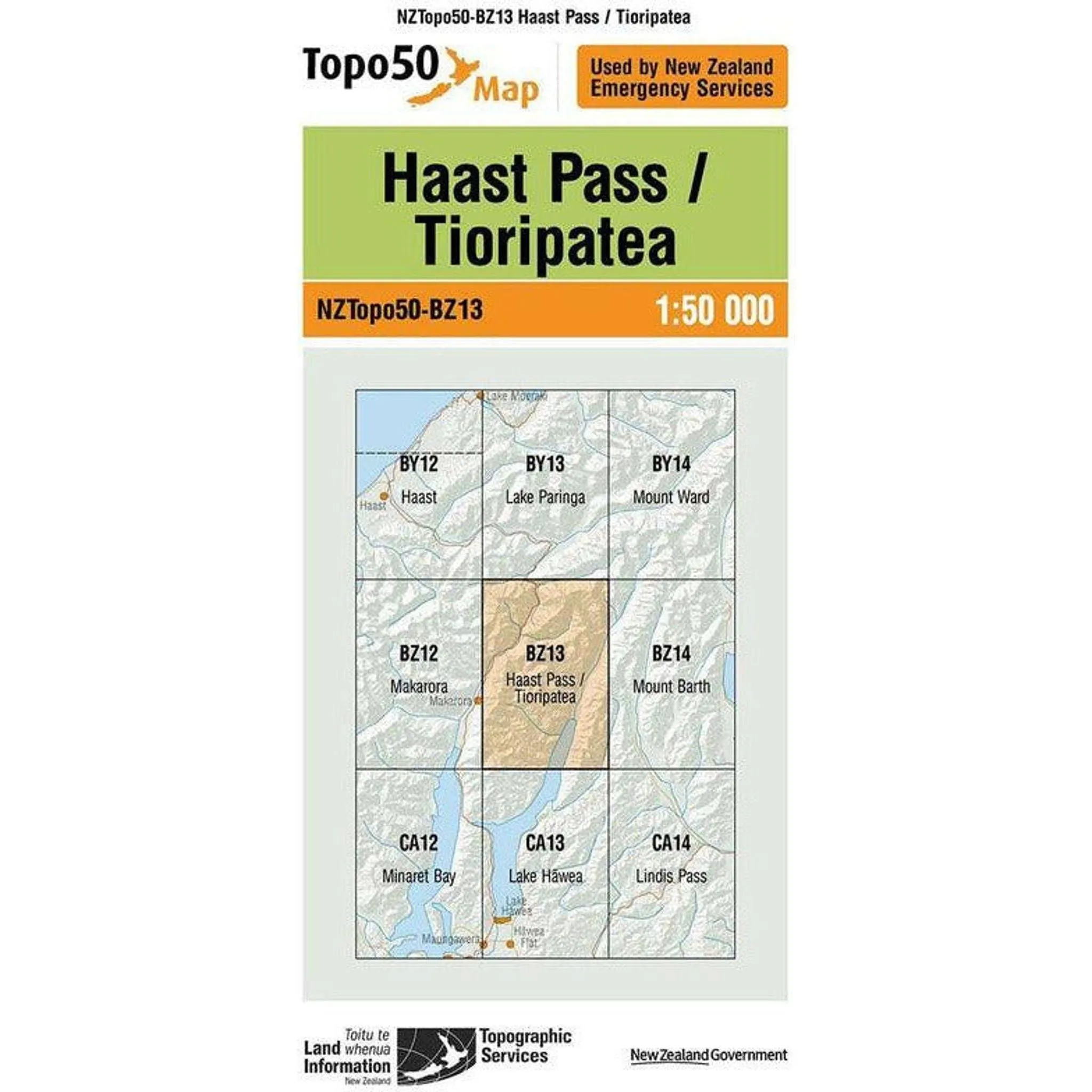
The Topo Map 50 Haast Pass in New Zealand is a detailed representation of the terrain and features surrounding Haast Pass. This comprehensive map displays elevation changes, rivers, lakes, trails, roads, and vegetation, offering valuable information for hikers, geologists, and anyone exploring the area. With a scale of 1:50,000, it strikes a balance between detail and coverage, making it an essential tool for understanding the rugged beauty and landscapes of Haast Pass and its surroundings.


")


